#military drones Tech News.
4 stories in the last 7 days
The latest military drones news, distilled by AI into sharp ~100-word summaries. ByteBrief tracks military drones across dozens of tech sources and brings you only what matters, updated hourly. Tap any story for the full brief, or open the original source.

Location scans from Pokémon Go users trained AI that could help military drones navigate war zones. Niantic collected the data after a 2021 update required opt-in uploads. Niantic Spatial partnered with Vantor in December to integrate the spatial detection software into drones.
Pokemon Go players' optional location scans helped train Niantic Spatial's visual positioning system. That technology is now paired with Vantor's drone navigation software for military and intelligence use. The pipeline runs from a mobile game to the battlefield in three steps.
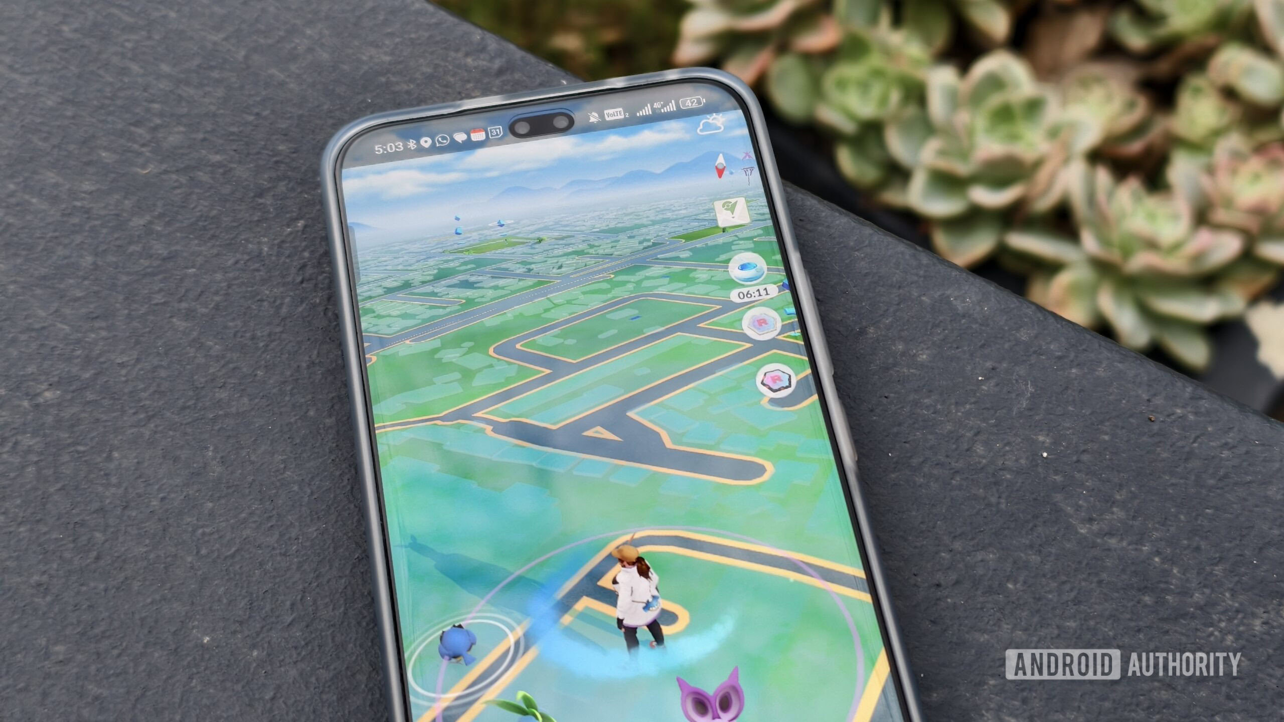
Niantic Spatial, a Niantic spin-off, used Pokemon Go player scans to develop Visual Positioning Systems. The company collaborates with Vantor, a geospatial intelligence software firm. A Dutch report from Trouw highlights how player-submitted data may have helped fuel VPS solutions for military drone navigation.

Pokémon Go player scans trained the navigation technology now used in military drones. The augmented reality game collected vast amounts of geospatial data from user phones. That data helped develop visual positioning systems for autonomous drone flight.
Summaries by ByteBrief